To appreciate the significance of aerial hyperspectral imaging, Analytik has created an informative video to understand what hyperspectral imaging is, and how it works.
Aerial Hyperspectral Imaging (or Remote Sensing) collects and process information across different bands of the electromagnetic spectrum via an aerial vehicle, such as a drone. Hyperspectral Imaging Sensors collect spectral information from a large area (such as a forest) as a set of images, allowing the identification of objects and materials through their individual characteristics (or “spectral fingerprint”).
The electromagnetic spectrum consists of multiple bands of electromagnetic radiation which is separated by size and frequency.
Want to learn more? Continue watching the video provided by Analytik to understand more about hyperspectral imaging.
HeadWall Products
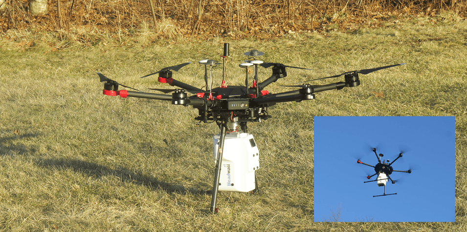
Aerial Solution example
VNIR-SWIR CO-ALIGNED + INTERNAL DATA STORAGE + GPS-IMU

Headwall’s Co-Aligned Dual VNIR-SWIR sensor package with co-aligned pixels for superb imaging performance from 400-2500nm.
Key Benefits of the Hyperspec VNIR – SWIR Co-Aligned from HeadWall Photonics.
- Superb imaging performance
- Wideband coverage
- Pixel co-alignment through software
- Small form-factor, lightweight
- Robust and environmentally rugged
- Aberration-corrected
- High spatial and spectral resolution
- Wide field-of-view
View the quick start for aerial Systems – witness application examples
Headwall has released a serious of quick start videos for Aerial Systems demonstrating application examples and how to use the Software & Systems. Simply check them out below……
Quick Start UAV-Nano Part 01: Unboxing
Quick Start UAV-Nano Part 02: Software Pre Flight Preparation
Quick Start UAV-Nano Part 03: Flight and Data Download
Quick Start UAV-Nano Part 04A: Data Post Processing
Quick Start UAV Nano Part 04B: Post-Processing of High-Performance GPS/IMU Data
Webinars & Demos: Software & Systems
Headwall LiDAR Tools Tutorial with Examples of LAS DEM HSI-LiDAR Fusion
Headwall Hyperspectral Imaging Seminar at the University of Colorado – Boulder

